Tolland County on the satellite map of Connecticut 2026. Actual satellite images of Tolland County, Connecticut.

USA / Connecticut / Tolland County

This satellite map of Tolland County shows the actual space imagery of Tolland County and neighboring counties, including major cities and natural objecsts as of 2026. Zoom in or out of the map using the plus/minus panel to see more detailed satellite images. Move the center of this map by dragging it. Also check out the street map of Tolland County.


Share the link with friends:
Share on Facebook
Share on WhatsApp
Share on Telegram


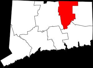
The borders of Tolland County over the map of Connecticut

An image of Tolland County, CT

Explore some more counties of Connecticut:

Full list of Connecticut maps

This online map of Tolland County, Connecticut is provided by Bing Maps. Please add a bookmark and share the page with your friends!