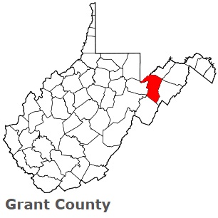
The borders of Grant County over the map of West Virginia
Explore some more counties of West Virginia:
- Wyoming County
- Wood County
- Wirt County
- Wetzel County
- Webster County
- Wayne County
- Upshur County
- Tyler County
- Tucker County
- Taylor County
- Summers County
- Roane County
- Ritchie County
- Randolph County
- Raleigh County
- Putnam County
- Preston County
- Pocahontas County
- Pleasants County
- Pendleton County
Full list of West Virginia maps
This online map of Grant County, West Virginia is provided by Bing Maps. Please add a bookmark and share the page with your friends!